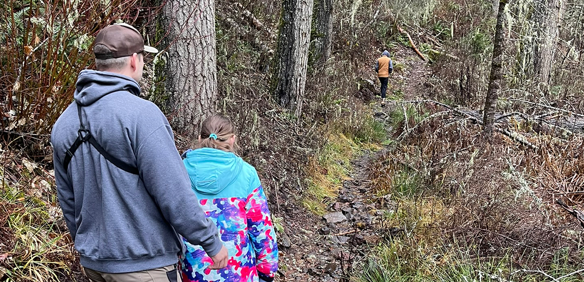
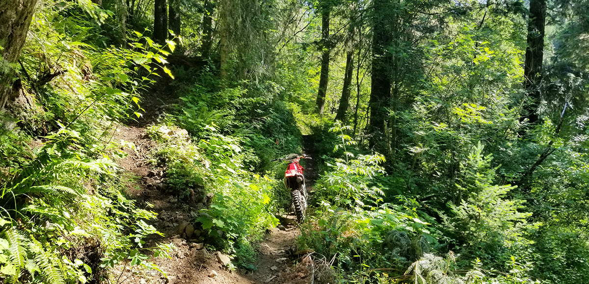
As the name suggests, this trail is one of the more difficult adventures. Users sidehill down a steep and loose trail making any activity difficult at times. Several sharp switchbacks will challenge even the most experienced bikers, human or motor powered. The Rough Fork Trail connects Mottet Campground with the South Fork Walla Walla Trail.
Umatilla National Forest (Walla Walla Ranger District)
Permits:
None
Amenities:
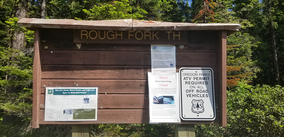
The Rough Fork Trailhead offers a large area for parking, one vault toilet, an unloading ramp for motorcycles, and a hitching rail for horses. Mottet Campground is located about 1/4 mile away and Jubilee Lake Campground is five miles away.
Distance:
Within 1.5 Hours
Seasons:
Summer, Fall
Elevation:
3,400 - 5,180 feet
Pets:
Yes
Fees:
None
Land Manager:
Umatilla National Forest (Walla Walla Ranger District)
ADA:
No
Multi Use:
Yes
Motorized Vehicles:
Yes
Permits:
None
WHAT TO DO
Hiking/ Biking
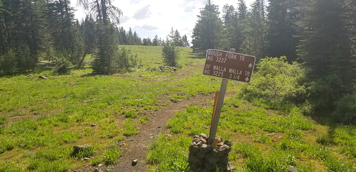
Rough Fork Trail (#3227) is a 3.2 mile mostly exposed steep and rocky trail with several switchbacks leading down to its junction with the South Fork Walla Walla Trail (#3225). Consider downloading the Motor Vehicle Use Map. This part of the forest is reflected on Map 15. The Avenza Map app is also quite helpful as users can upload three maps (or unlimited with a subscription) within the app to use offline. It can track your location offline and overlay your location on the map. Most of the intersections along the trail are not clearly marked, which is why this tool is so helpful.
LISTEN TO OUR PODCAST SERIES
EPISODE 01 - THE ADVENTURE
OUTSIDE WALLA WALLA ADVENTURES - FIELDS SPRING STATE PARK
This trail begins its descent with a short stroll through dense forest cover and vegetation. The majority of this trail is exposed sidehill on steep and rocky ground. There are...
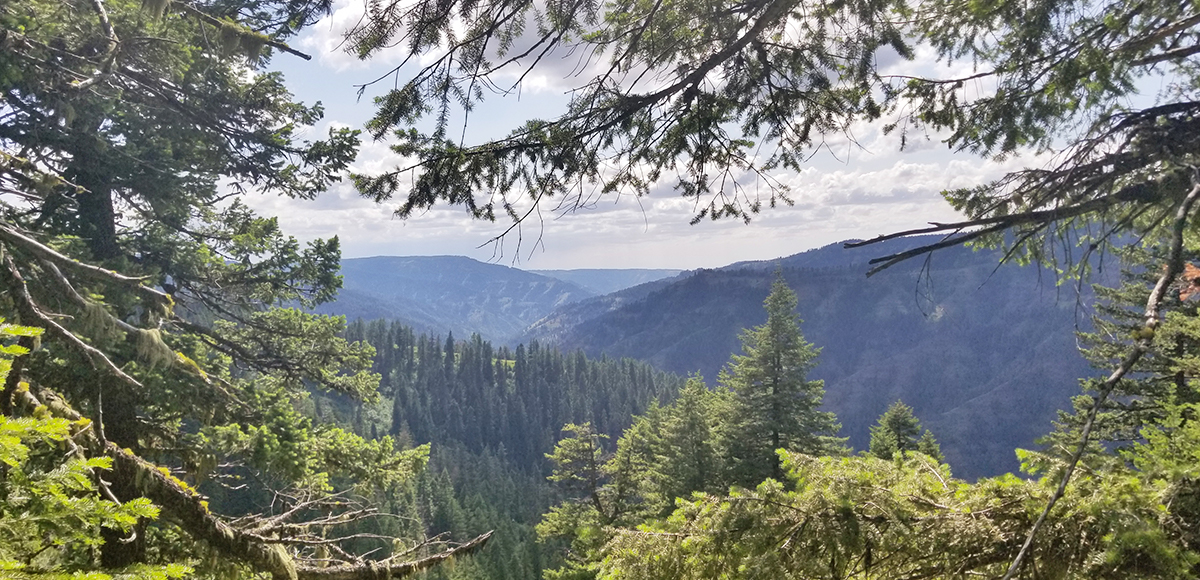
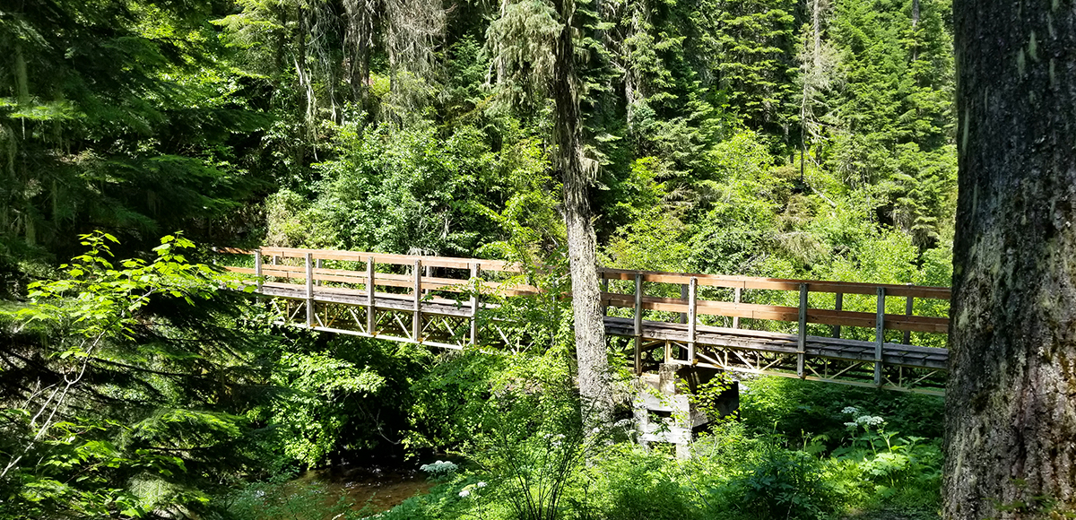
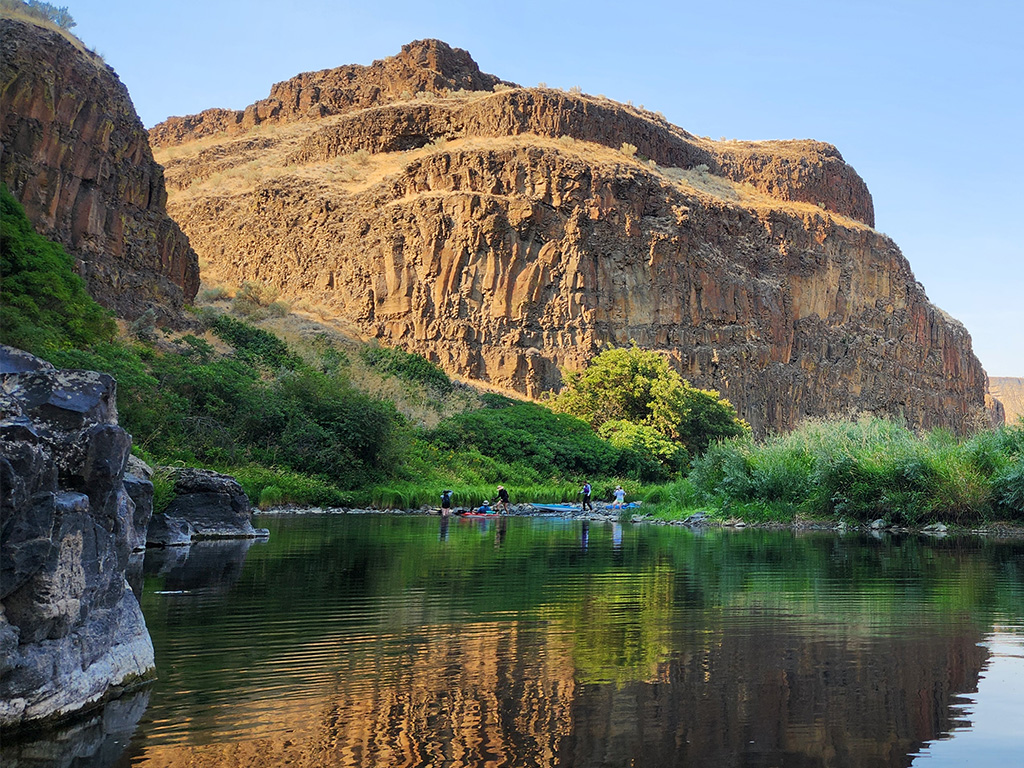
This trail begins its descent with a short stroll through dense forest cover and vegetation. The majority of this trail is exposed sidehill on steep and rocky ground. There are about a dozen sharp switchbacks to make as you quickly lose elevation making your way to the South Fork Walla Walla River at the canyon bottom. From the top, enjoy great views of the South Fork Walla Walla River drainage area. Once at the bottom, travel through old growth forest and dense vegetation as you connect with the South Fork Walla Walla Trail (#3225).
WHEN TO GO
You will have to wait for mother nature for this trail to open due to its elevation. You may be able to gain access from the bottom in the spring if you enter using the South Fork Walla Walla Trail...
You will have to wait for mother nature for this trail to open due to its elevation. You may be able to gain access from the bottom in the spring if you enter using the South Fork Walla Walla Trail (#3225). Most likely wait until summer to gain access from the upper trailhead. A good sign the trail is clear is the opening of Jubilee Lake. Summer usage is light, but fall it is heavily used by hunters.
HOW TO GET THERE
The Rough Fork Trailhead is accessed off NF-6403 (Old Skyline Trail) above Jubilee Lake. To get there, take HWY 11 south through Milton-Freewater, OR. Travel another five miles and turn left on Winn Road. Follow this little backroad for two...
The Rough Fork Trailhead is accessed off NF-6403 (Old Skyline Trail) above Jubilee Lake. To get there, take HWY 11 south through Milton-Freewater, OR. Travel another five miles and turn left on Winn Road. Follow this little backroad for two miles and then turn left to connect with HWY 204. Drive roughly 19 miles and turn left onto Skyline Road/ NF-64 (just past Langdon Lake). Follow NF-64 for 14 miles then turn left on NF-6419. Drive another 1.5 miles and turn left onto NF-6403, a sign for both Rough Fork Trail and Mottet Campground is posted. After another 1.5 miles you will find the Rough Fork Trail sign and turn right, the parking area is just ahead.
Outside Walla Walla assumes no responsibility for the use of this website or the information provided. Every activity carries potential risks that should be assessed individually based on each person’s circumstances. By using the information, you acknowledge the foregoing and agree to release us from any liability arising from your use. We make no warranties, express or implied, of any kind regarding the operation of the website or the results you may obtain from using the content, information, materials, products, or services offered on the Outside Walla Walla website. Use of the Outside Walla Walla website is the sole responsibility of the user. In no event will we be liable for any direct, indirect, incidental, or consequential damages resulting from the use of this website or the information contained herein.
The Outside Walla Walla website contains links and advertisements to third-party websites. These links are provided for your convenience and do not imply that we endorse the content of those websites. We are not responsible for the content or accuracy of linked third-party websites, nor do we guarantee the accuracy or truthfulness of the information they contain. If you choose to access linked third-party websites, you do so at your own risk.