CURRENT CONDITIONS
52° F
OUTSIDE WALLA WALLA
OUTSIDE WALLA WALLA
Jubilee Lake
ACTIVITIES
A local treasure, the Jubilee Lake area is a great place to escape valley heat and provide a change of scenery. Adventurers can hike, camp, fish, and embark on a water sport or two. This area checks off many activities available in the Umatilla National Forest. It is a great spot for a day trip. But, if you have time, there is plenty to do in this part of the forest.
Overview
- Distance:
- Within 1.5 Hours
- ADA:
- Yes
- Elevation:
- 4,700 feet
- Multi Use:
- No
- Seasons:
- Summer, Fall
- Pets:
- Yes
- Motorized Vehicles:
- No
- Fees:
- If just visiting for the day, expect a $3 day use fee. Camping is $17 per night for a single site, $24 per night for a double site, and $5 per each additional vehicle.
- Land Manager:
- Umatilla National Forest (Walla Walla Ranger District), National Recreation Trail
- Permits:
- Valid Oregon fishing license (if fishing)--Not available at Jubilee Lake for purchase. Fishing licenses are available online via the Oregon Department of Fish & Wildlife or locally at Ranch & Home in Milton-Freewater, OR off HWY 11 on your way out of town.
- Amenities:
- There are five flush toilets and four vault toilets, potable water, and picnic tables.
- Distance:
- Within 1.5 Hours
- Seasons:
- Summer, Fall
- Elevation:
- 4,700 feet
- Pets:
- Yes
- Fees:
- If just visiting for the day, expect a $3 day use fee. Camping is $17 per night for a single site, $24 per night for a double site, and $5 per each additional vehicle.
- Land Manager:
- Umatilla National Forest (Walla Walla Ranger District), National Recreation Trail
- ADA:
- Yes
- Multi Use:
- No
- Motorized Vehicles:
- No
- Permits:
- Valid Oregon fishing license (if fishing)--Not available at Jubilee Lake for purchase. Fishing licenses are available online via the Oregon Department of Fish & Wildlife or locally at Ranch & Home in Milton-Freewater, OR off HWY 11 on your way out of town.
WHAT TO DO
Hiking
The Jubilee Lake Recreation Loop Trail (#3230) is 2.6 miles (around the lake) and begins near the boat ramp. This trail is actually a National Recreation Trail. The designation of a National Recreation Trail is given to trails that contribute to the health, conservation, and recreation goals of the country.
They also recognize exemplary trails of local and regional significance. Trails are nominated and confirmed by either the Secretary of the Interior or Secretary of Agriculture. The Jubilee Lake Recreation Loop Trail earned its designation in 1981.
Other hiking trails in the area include Sinks Trail (#3233), Rough Fork Trail (#3227), Eagle Ridge / Luger Spring Trail (#3232), and Burnt Cabin Trail (#3226).
Consult the Forest Service page for agency information.
Camping
There are 53 campsites available (48 tent/ trailer sites and five tent only sites), 37 picnic sites, and potable water through October 1. Regarding larger RVs, the sites were not originally designed for today’s longer trailers. There are pull-through sites that are likely the best option. Reservations are highly encouraged.
Consult the Forest Service page for agency information.
Fishing
The boat launch is available for electric powered or human powered vessels. There is a dock next to the boat launch and multiple spots around the lake to cast a line in from the shoreline. Thanks to support from the Tri-State Steelheaders and Oregon Department of Fish & Wildlife, the Jubilee Lake Kids Fishing Derby aims to foster lifelong appreciation and interest in fishing. Activities include food, games, prizes, and even professional instruction available at the lake that day.
More information is available on the Events page as the current year’s details are released. Fishing regulations are highly specific and based on location and species. Please always consult the latest information available from the Oregon Department of Fish & Wildlife.
Paddleboarding/ Kayaking
This 90-acre reservoir developed specifically for recreation is a prime spot for paddleboarding and enjoying a day in the mountains. Kayaking is also a great option if bringing the binoculars for birdwatching or taking lunch to the other side of the reservoir. Remember when embarking on a water adventure, make sure to wear a life jacket or have a back-up flotation device with you.
Consult the Forest Service page for agency information.
WHAT TO EXPECT
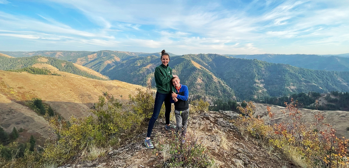
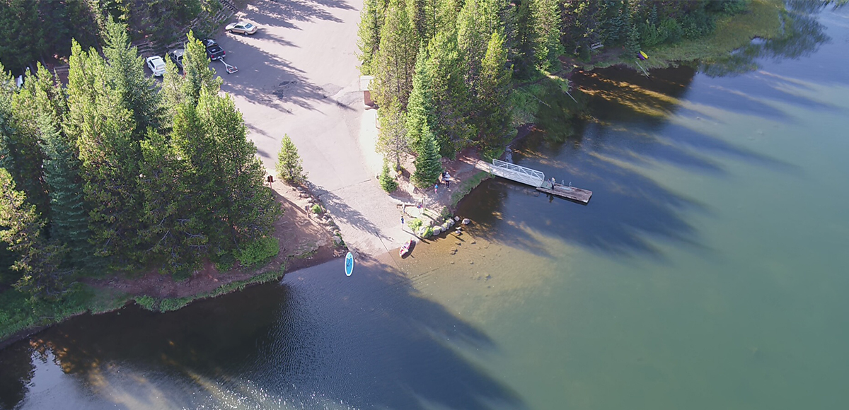
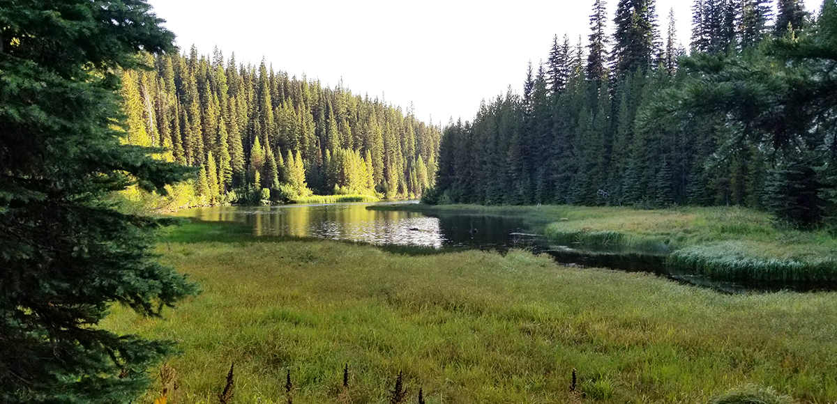
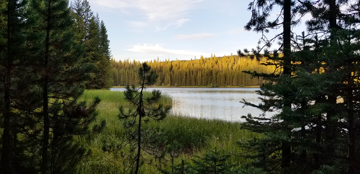
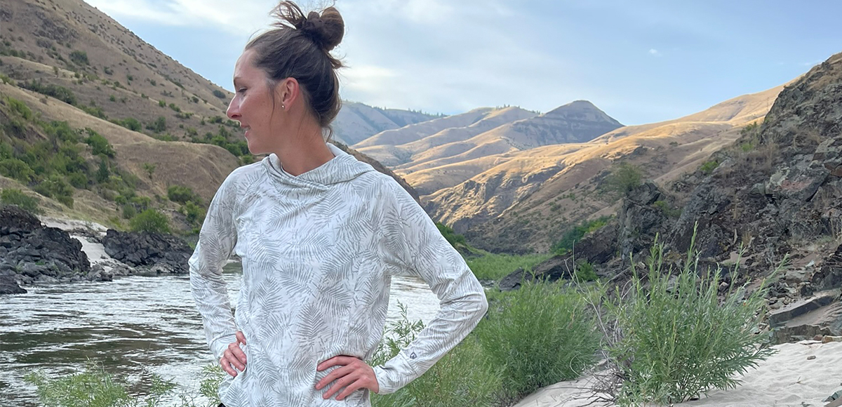
The area around Tollgate, OR provides many opportunities to recreate. Big views on the way to this destination will showcase many features of the Blue Mountains. This particular location doesn’t offer expansive viewscapes, but the forest, lake, and all the activities provide plenty of entertainment.
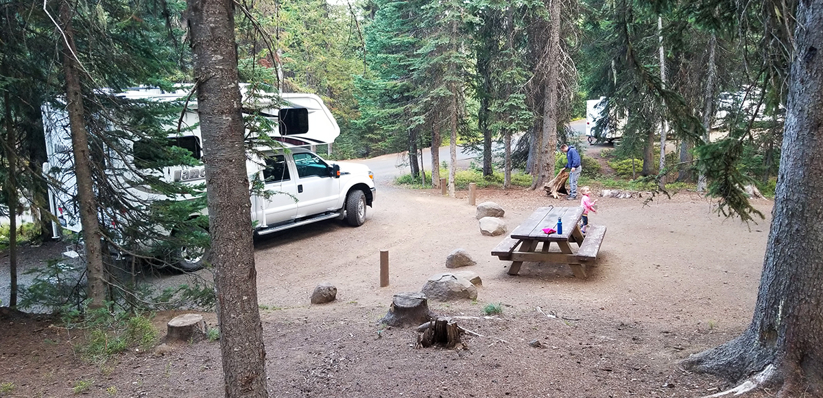
Though heavily used, the campsites are positioned nicely and offer plenty of room from neighboring sites. There are many places along the lake to enjoy a quiet moment, and the lake is plenty big enough for everyone.
Reservations
Yes
Amenities
There are five flush toilets and four vault toilets, potable water, and picnic tables.
Regulations
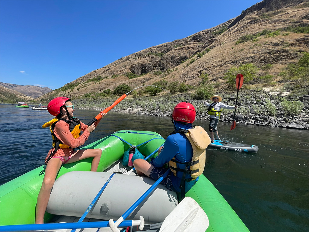
No gas powered boats, but electric motors are okay. Fishing regulations are highly specific and based on location and species. Please always consult the latest information available from the Oregon Department of Fish & Wildlife.
Wildlife Awareness
We are all so fortunate to recreate in the Blue Mountains and Walla Walla Valley. So many opportunities exist to play outside, whether in a national forest, wilderness area, or on a Wild and Scenic River. With these opportunities comes great responsibility to appreciate that we are mere visitors and should all take pride in being good stewards of the wild.
Many animals call these protected places home, including moose, elk, bear, cougar, bobcat, and snakes to name a few. Take precautions to respect their home and understand the appropriate response should an encounter occur.
Additionally, many plant species thrive in the Blue Mountains, so staying on trail is always good practice.
Carry First Aid supplies to better respond to accidents or encounters, and always let others know where the day’s adventure is taking you.
Field Notes
Navigation: Consider downloading the Avenza Map app. This app allows users to upload three maps (or unlimited with a subscription) to use offline. It can track your location offline and overlay GPS data from the phone onto the map. The vehicle use maps (for trails allowing motorized vehicles) are the easiest to use.
Otherwise, Geo Tracker offers similar tracking capabilities and additional details about your adventure. If no service, Geo Tracker will at least show your location. The Blue Mountains and surrounding area offer a remote recreating experience, and knowing your location is paramount to staying safe. Always make sure to bring paper maps. Tell others where your adventure is taking you and when you expect to return.
Pets: In general, pets are allowed on a leash and under control throughout jurisdictions. The only restrictions we have encountered are around swimming areas. As a best practice, be mindful of riparian habitat in general. You never know where a precious spawning area might be located. Pack it in and pack it out applies to your furry friend as well.
Disclaimer: While the Outside Walla Walla team has enjoyed all the adventures listed on this site, we cannot provide real-time conditions & maintenance reports. Extreme weather can change access overnight. Volunteer groups might lose capacity to manage trail systems. We do our best to report that information and update our site accordingly, but please read our Disclaimer (footer) and proceed with any adventure as your comfort level allows.
WHEN TO GO
Typically Jubilee Lake and all its facilities are open July through October 15. Usage is heavy during holiday weekends. If the campground is full, still consider utilizing all the fun activities of Jubilee Lake during the day and camping at nearby Target Meadows Campground, Mottet Campground, Woodward Campground, or Timothy Springs Campground. Visiting during the week is also a great option.
HOW TO GET THERE
From Walla Walla, take HWY 11 south through Milton-Freewater, OR. Travel another five miles and turn left on Winn Road. Follow this little backroad for two miles and then turn left to connect with HWY 204. Drive roughly 19 miles and turn left onto Skyline Road/ NF-64 (just past Langdon Lake). Follow NF-64 for 12 miles and turn right onto NF-250, which takes you to the campground entrance.
As a heads up, a few of those miles are on a gravel road that no matter the year or weather seem to be afflicted with pretty intense washboarding. The destination is worth the jiggling–just tie down the coolers and check the hitch one more time.
Please do not solely rely on Google Maps as their route might not always reflect what is maintained.
map
TRAILHEADS
LOWER TRAILHEAD
UPPER TRAILHEAD
DOWNLOAD GUIDE PDF
DOWNLOAD GUIDE PDF
ADDTIONAL INFORMATION
Jubilee Lake Gallery
CHECKOUT MORE OF THE SITE
Activity
ACTIVITY
DISTANCE


