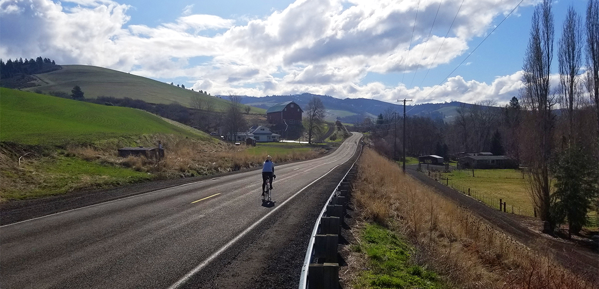
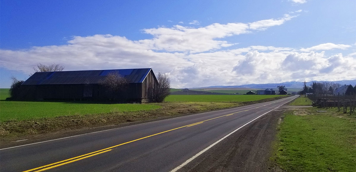
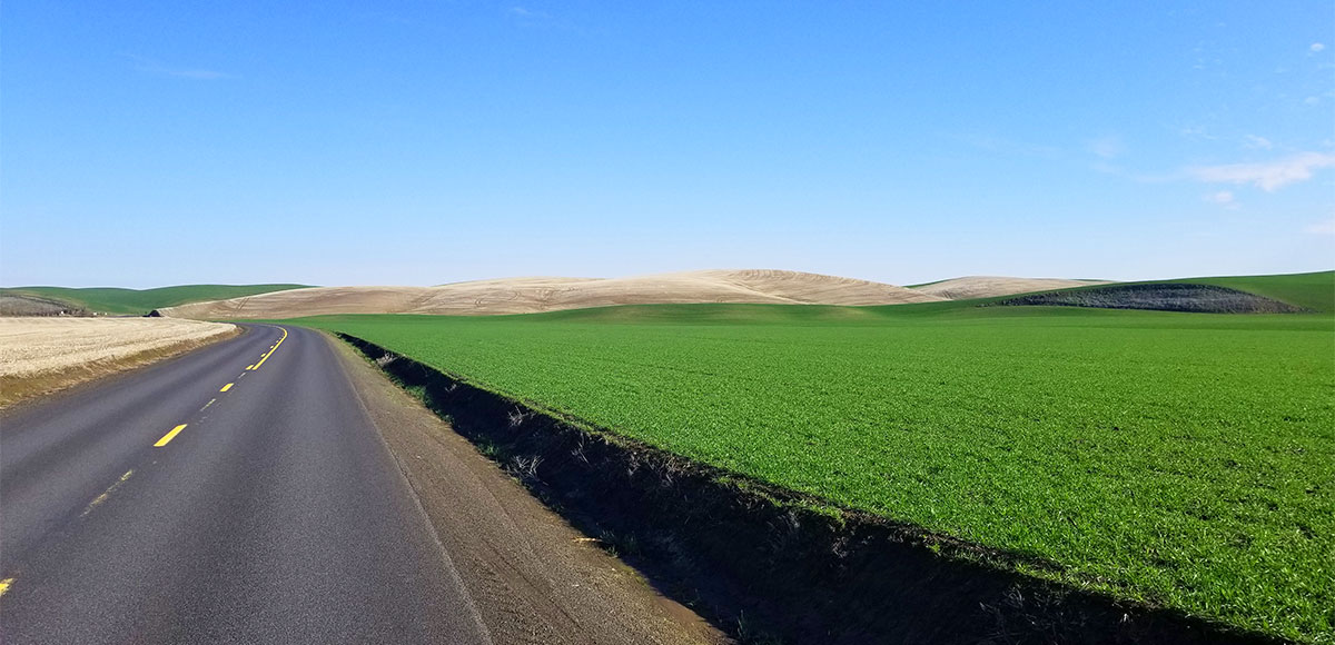
Part of what makes these rides so special is the fact that they wander through rolling fields of wheat, barley, peas, and garbanzo beans to name a few crops–not to mention the backdrop of the Blue Mountains, as if the view wasn’t impressive enough.
In the spring, the sprouting plants are so deliciously green, and, as summer fades, the golden hues of a bountiful harvest really steal the show. As magical as that seasonal promise of routine and tradition truly is, it also means there is some really, really big farm equipment on the road. The share-the-road mantra is next level in the Walla Walla Valley.
This warning is not to deter your inner cyclist, but rather prepare you for the fact that during certain parts of the year, wheat that was casually blowing with the breeze finds itself in the back of a large truck going at least 35 miles an hour. As someone who can put harvest driver on her resume, I implore you to realize that it is incredibly hard to ask a fully loaded truck to respond in a timely fashion.
Enjoy those more agricultural-centric rides, but please stay safe. Realizing that seasoned road cyclists likely face such challenges on a daily basis, a little reminder can’t hurt.
Amenities
With many of these routes traveling through towns sprinkled throughout the Walla Walla Valley, stop and enjoy the local food, coffee, and shops.
Regulations
The State of Washington considers those on a bicycle a vulnerable user of a public way. Washington does not mandate helmets, but please wear a helmet. The state does not define which lane riders use, but if slower than the flow of traffic, ride as far to the right as possible.
Perhaps of most use is the vehicle detection error law that allows riders to proceed through a traffic signal if that signal fails to respond to the rider. Just be sure to check for traffic coming the opposite way before you proceed through. For more light reading, visit the Washington State Legislature website on the Revised Code of Washington, specifically Chapter 46.61.760. Impress all your cycling buddies with your newfound knowledge.
In Oregon, similar laws apply, although helmets are required under the age of sixteen. Remember, bicycles are considered vehicles, and it is illegal to operate a vehicle while under the influence.
Wildlife Awareness
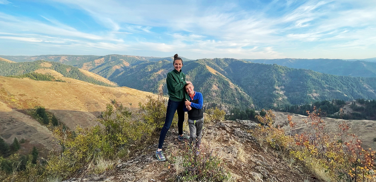
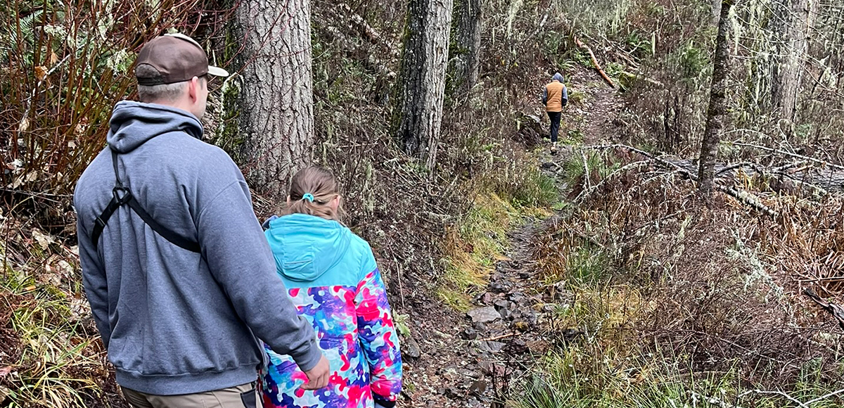
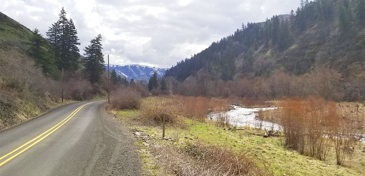
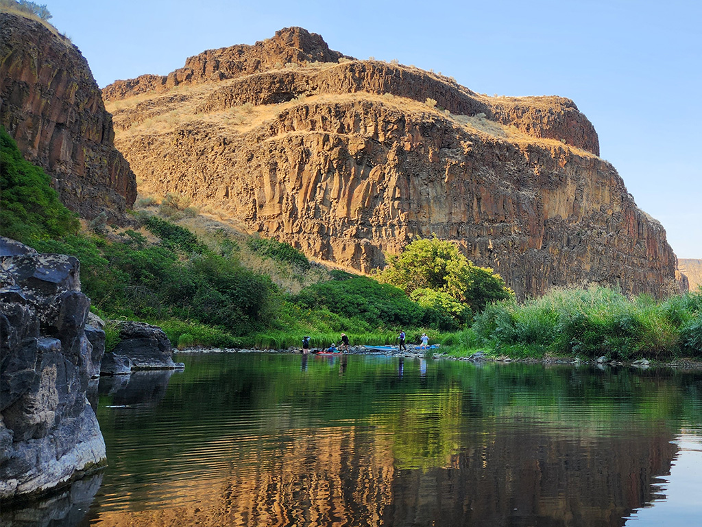
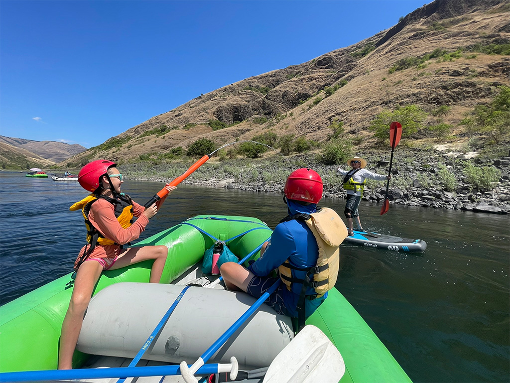
We are all so fortunate to recreate in the Blue Mountains and Walla Walla Valley. So many opportunities exist to play outside, whether in a national forest, wilderness area, or on a Wild and Scenic River. With these opportunities comes great responsibility to appreciate that we are mere visitors and should all take pride in being good stewards of the wild.
Many animals call these protected places home, including moose, elk, bear, cougar, bobcat, and snakes to name a few. Take precautions to respect their home and understand the appropriate response should an encounter occur.
Additionally, many plant species thrive in the Blue Mountains, so staying on trail is always good practice.
Carry First Aid supplies to better respond to accidents or encounters, and always let others know where the day’s adventure is taking you.
Field Notes
Disclaimer: While the Outside Walla Walla team has enjoyed all the adventures listed on this site, we cannot provide real-time conditions & maintenance reports. Extreme weather can change access overnight. Volunteer groups might lose capacity to manage trail systems. We do our best to report that information and update our site accordingly, but please read our Disclaimer (footer) and proceed with any adventure as your comfort level allows.