CURRENT CONDITIONS
52° F

OUTSIDE WALLA WALLA
OUTSIDE WALLA WALLA
Team Walla Walla
Building community around biking, Team Walla Walla strives to engage riders through group rides, training, and racing. With many no-drop rides, it is the perfect way to try and new sport and gain confidence. Team leaders Rachel Geiter and Kaler Marshall are accomplished cyclists who continue to travel the country representing Walla Walla. They have spent many hours training on the backroads of the Walla Walla Valley and assembled a growing catalog of their favorite routes.
Overview
- Distance:
- Within 1.5 Hours
- ADA:
- Yes
- Elevation:
- Route Specific
- Multi Use:
- Yes
- Seasons:
- Spring, Summer, Fall, Winter
- Pets:
- No
- Motorized Vehicles:
- Yes
- Fees:
- None
- Land Manager:
- Walla Walla County
- Permits:
- None
- Amenities:
- There are no public restrooms along the routes. Make sure to set out on the ride with ample water supply.
- Distance:
- Within 1.5 Hours
- Seasons:
- Spring, Summer, Fall, Winter
- Elevation:
- Route Specific
- Pets:
- No
- Fees:
- None
- Land Manager:
- Walla Walla County
- ADA:
- Yes
- Multi Use:
- Yes
- Motorized Vehicles:
- Yes
- Permits:
- None
WHAT TO DO
Biking
Whoop’em Up to Sorghum Hollow, Waitsburg (Intermediate)
Fast and fun, this mixed surface ride is a quick jaunt from Waitsburg. Clocking in at 18 miles, this route follows one of the hollows just to the north, turning into gravel part way up the steady climb, before quickly dropping away to a dizzying dirt descent back to pavement. Follow the pavement through farmland up another gully before taking Sorghum Hollow back up through an old homestead and back into Waitsburg. Want a bit more of a challenge? This can easily be added on to the common Waitsburg loop from Walla Walla to give you about 60 miles of mixed condition riding.
Barger to Fields Gulch, Prescott (Intermediate) NO SERVICES
Starting in Prescott, this 27.6 mile rough begins on pavement taking you North into the Palouse. After a gradual climb into the country the pavement gives way to gravel for a remote trek through dryland farms before popping out on a gradual paved descent for roughly seven miles. Tuning back towards Prescott, the route follows a dry slough on both pavement and gravel. Find your way into the remote parts of Walla Walla and the Palouse.
Gerking to Clodius Gravel and Evans, Walla Walla (Intermediate)
This 31.5 mile ride is an excellent choice for riders who are looking for an introduction to the gravel farm roads of Walla Walla. Following paved farm roads out of town, the route combines popular bike routes through farm land. North of town the route begins to jump off pavement to explore gravel farm roads though small gullies and rollers. As you return towards Walla Walla, mostly on gravel, enjoy riding through a vineyard sandwiched by wheat.
Lewis Peak to Jasper Mountain, Dixie (Intermediate)
Starting in Dixie, Washington, this 36 miles route starts with only a mile of pavement before turning off the highway and onto a gravel climb heading northeast into the Blue Mountains. This mostly steady gravel climb takes riders up a mountain road deep into the Blue Mountains before traversing along a ridge top giving uniquely spectacular views of the valley to the southwest, the Palouse to the north, and the mountains to the east. Follow the ups and downs of the ridge before turning onto a gravel descent that terminates just south of Waitsburg. A short stint on pavement crossing Highway 12 and then back to rolling gravel terrain to Dixie. Beware of a few steep pitches on the road up.
Cottonwood Creek to Government Mountain, Walla Walla (Intermediate, Advanced)
This 37 mile route follows much of the short Walla Walla Grit course. Leaving the Airport Area on pavement, travel through the rolling hills of the Palouse skirting the edge of the Blue Mountains heading toward Oregon. Upon crossing into Oregon, the route becomes gravel and climbs abruptly through the Blue Mountains. Enjoy epic views of the valley to the west and the majestic Blues to the east. Follow Government Mountain Road down a fast flowing gravel descent but use caution due to changing road conditions. Returning to Walla Walla, the roads transition back to paved entering Washington.
Lincton Mountain Road in the Scenic Blue Mountains, Walla Walla (Advanced)
This 67 mile route starts on pavement in town. Head south crossing into Oregon the roads become mixed with gravel and pavement. The large climb of the day is all gravel and in fairly good condition with some bumpy bedrock exposed. The route tops out on Highway 204 and follows the paved descent back down to Weston, Milton-Freewater, and eventually Walla Walla. The descent has no protected bike line or shoulder, so be very careful!
WHAT TO EXPECT
In the spring, the sprouting fields are so deliciously green, and, as summer fades, the golden hues of a bountiful harvest really steal the show. As magical as that seasonal promise of routine and tradition truly is, it also means there are some really, really big farm equipment on the road. The share-the-road mantra is next level in the Walla Walla Valley.
This warning is not to deter your inner cyclist, but rather prepare you for the fact that during certain parts of the year, wheat that was casually blowing with the breeze finds itself in the back of a large truck going at least 35 miles an hour. As someone who can put harvest driver on her resume, I implore you to realize that it is incredibly hard to ask a fully loaded truck to respond in a timely fashion.
Amenities
There are no public restrooms along the routes. Make sure to set out on the ride with ample water supply.
Regulations
The State of Washington considers those on a bicycle a vulnerable user of a public way. Washington does not mandate helmets, but please wear a helmet. The state does not define which lane riders use, but if slower than the flow of traffic, ride as far to the right as possible.
Perhaps of most use is the vehicle detection error law that allows riders to proceed through a traffic signal if that signal fails to respond to the rider. For more light reading, visit the Washington State Legislature website on the Revised Code of Washington, specifically Chapter 46.61.760.
In Oregon, similar laws apply, although helmets are required under the age of sixteen. Remember, bicycles are considered vehicles, and it is illegal to operate a vehicle while under the influence.
Wildlife Awareness
We are all so fortunate to recreate in the Blue Mountains and Walla Walla Valley. So many opportunities exist to play outside, whether in a national forest, wilderness area, or on a Wild and Scenic River. With these opportunities comes great responsibility to appreciate that we are mere visitors and should all take pride in being good stewards of the wild.
Many animals call these protected places home, including moose, elk, bear, cougar, bobcat, and snakes to name a few. Take precautions to respect their home and understand the appropriate response should an encounter occur.
Additionally, many plant species thrive in the Blue Mountains, so staying on trail is always good practice.
Carry First Aid supplies to better respond to accidents or encounters, and always let others know where the day’s adventure is taking you.
Field Notes
Navigation: Consider downloading the Avenza Map app. This app allows users to upload three maps (or unlimited with a subscription) to use offline. It can track your location offline and overlay GPS data from the phone onto the map. The vehicle use maps (for trails allowing motorized vehicles) are the easiest to use.
Otherwise, Geo Tracker offers similar tracking capabilities and additional details about your adventure. If no service, Geo Tracker will at least show your location. The Blue Mountains and surrounding area offer a remote recreating experience, and knowing your location is paramount to staying safe. Always make sure to bring paper maps. Tell others where your adventure is taking you and when you expect to return.
Pets: In general, pets are allowed on a leash and under control throughout jurisdictions. The only restrictions we have encountered are around swimming areas. As a best practice, be mindful of riparian habitat in general. You never know where a precious spawning area might be located. Pack it in and pack it out applies to your furry friend as well.
Disclaimer: While the Outside Walla Walla team has enjoyed all the adventures listed on this site, we cannot provide real-time conditions & maintenance reports. Extreme weather can change access overnight. Volunteer groups might lose capacity to manage trail systems. We do our best to report that information and update our site accordingly, but please read our Disclaimer (footer) and proceed with any adventure as your comfort level allows.
WHEN TO GO
Riding the roads less traveled throughout the Walla Walla Valley is a four-season sport. If you are local, grab your helmet anytime the mood strikes you. With an average rainfall hovering around 20 inches per year, that leaves hundreds of dry, sunny days to ride. Always consult the weather report to avoid triple digit heat without appropriate access to hydration.
HOW TO GET THERE
We love to collaborate with fellow outdoor recreation enthusiasts. Many thanks to Team Walla Walla for curating these routes. Team Walla Walla uses Garmin Connect to build their routes and track elevation gain & distance.
map
TRAILHEADS
LOWER TRAILHEAD
UPPER TRAILHEAD

DOWNLOAD GUIDE PDF
DOWNLOAD GUIDE PDF
ADDTIONAL INFORMATION
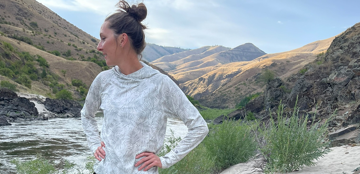
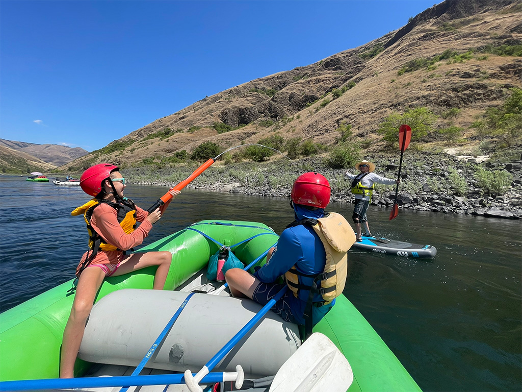
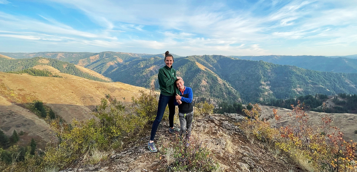
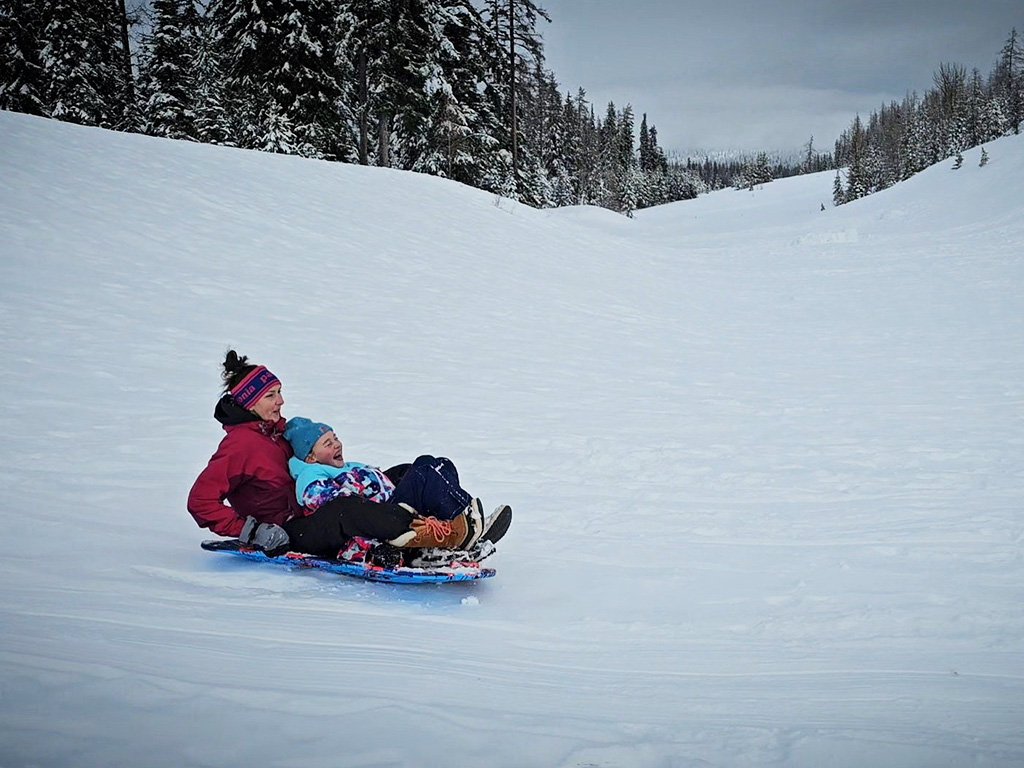
Team Walla Walla Gallery
CHECKOUT MORE OF THE SITE

Activity
ACTIVITY
DISTANCE