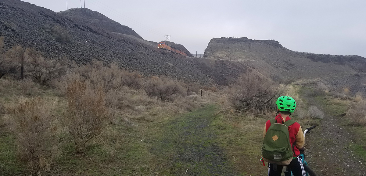
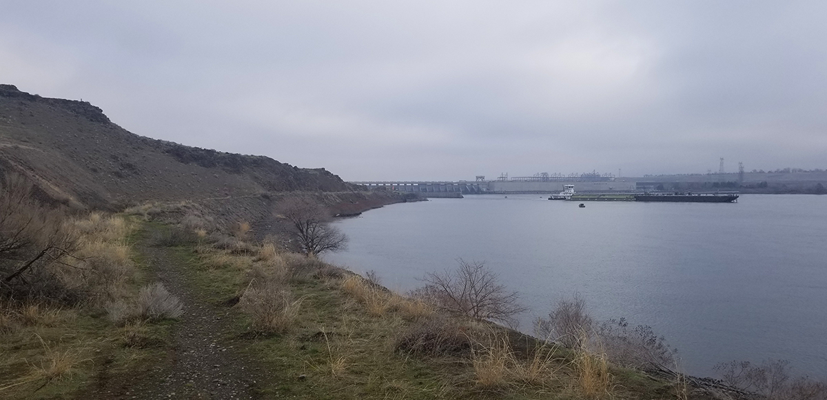
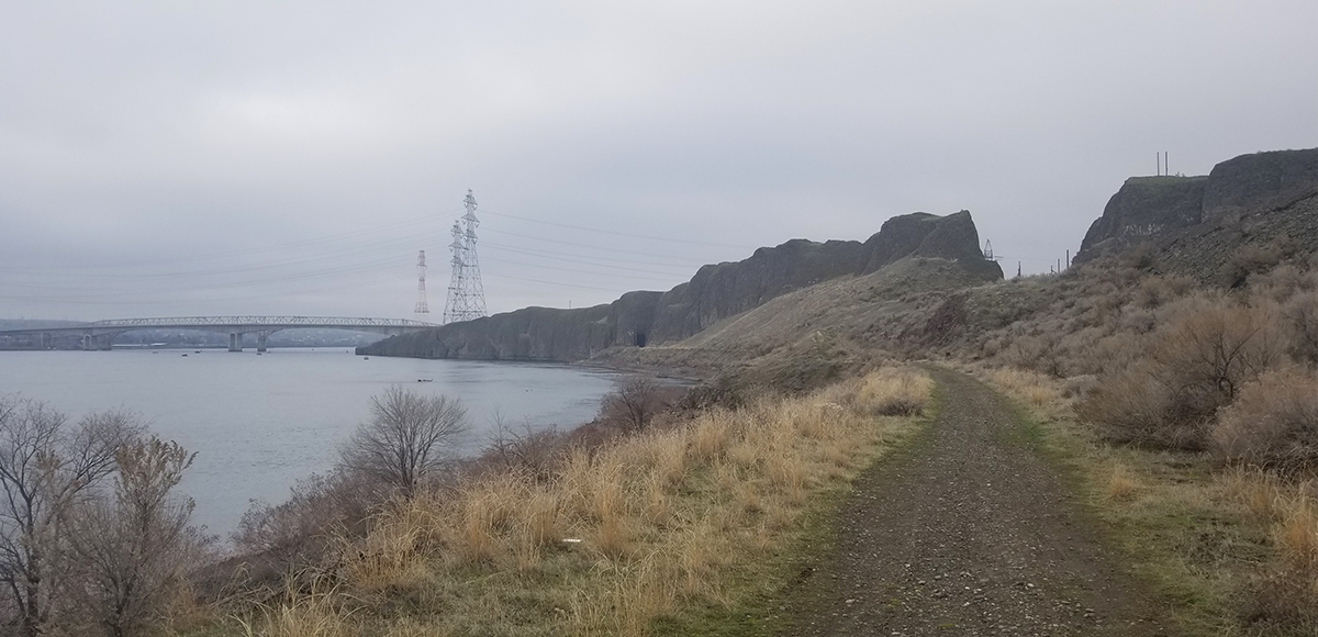
Located near Plymouth Park, the Portage Route Trail follows the Washington shoreline of the Columbia River. This trail highlights all forms of transportation and industry. Bound by the railroad to the north, McNary Dam to the east, its lock to the south, and passing under I-82 to start the journey, this isn’t your typical trail.
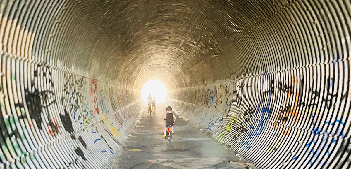
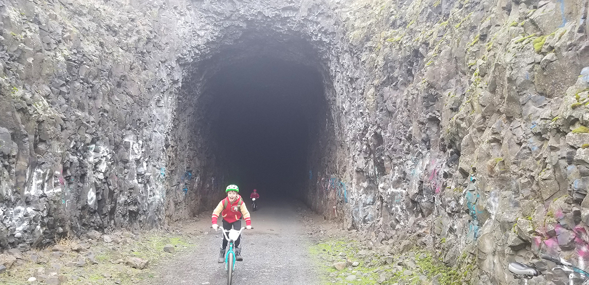
At roughly two miles in length, this out-and-back trail starts near Plymouth Park and terminates at McNary Dam. This is a short trail, easily navigated by foot or bicycle. The mostly dirt and gravel path passes through an old train tunnel as it follows the Columbia River.
The first half of the trail is wide and mostly gravel, passing through two tunnels. The first is a small corrugated tunnel under the I-82, and the second is an...
The first half of the trail is wide and mostly gravel, passing through two tunnels. The first is a small corrugated tunnel under the I-82, and the second is an old train tunnel through basalt rock roughly 100 yards in length. The tunnel’s end is visible upon entry, but it is quite dark so bring a source of light.
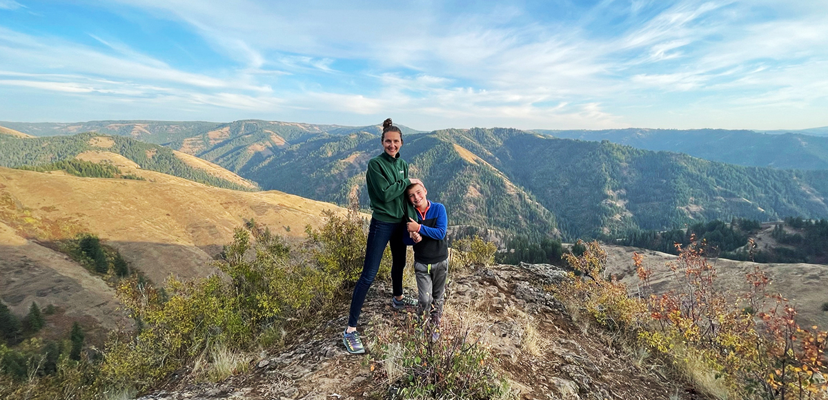
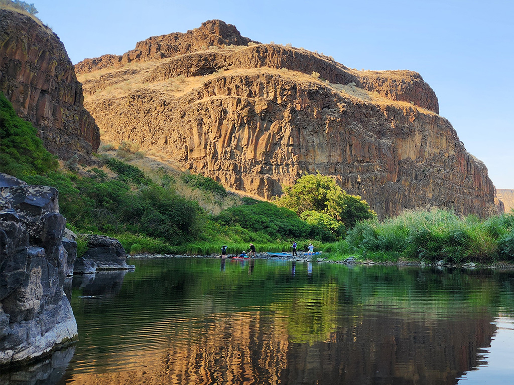
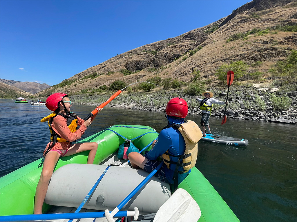
Wildlife Awareness We are all so fortunate to recreate in the Blue Mountains and Walla Walla Valley. So many opportunities exist to play outside, whether in a national forest, wilderness area, or on a Wild and Scenic River. With these opportunities comes great responsibility to appreciate that we are mere visitors and should all take pride in being good stewards of the wild.
Many animals call these protected places home, including moose, elk, bear, cougar, bobcat, and snakes to name a few. Take precautions to respect their home and understand the appropriate response should an encounter occur.
Additionally, many plant species thrive in the Blue Mountains, so staying on trail is always good practice.
Carry First Aid supplies to better respond to accidents or encounters, and always let others know where the day’s adventure is taking you.
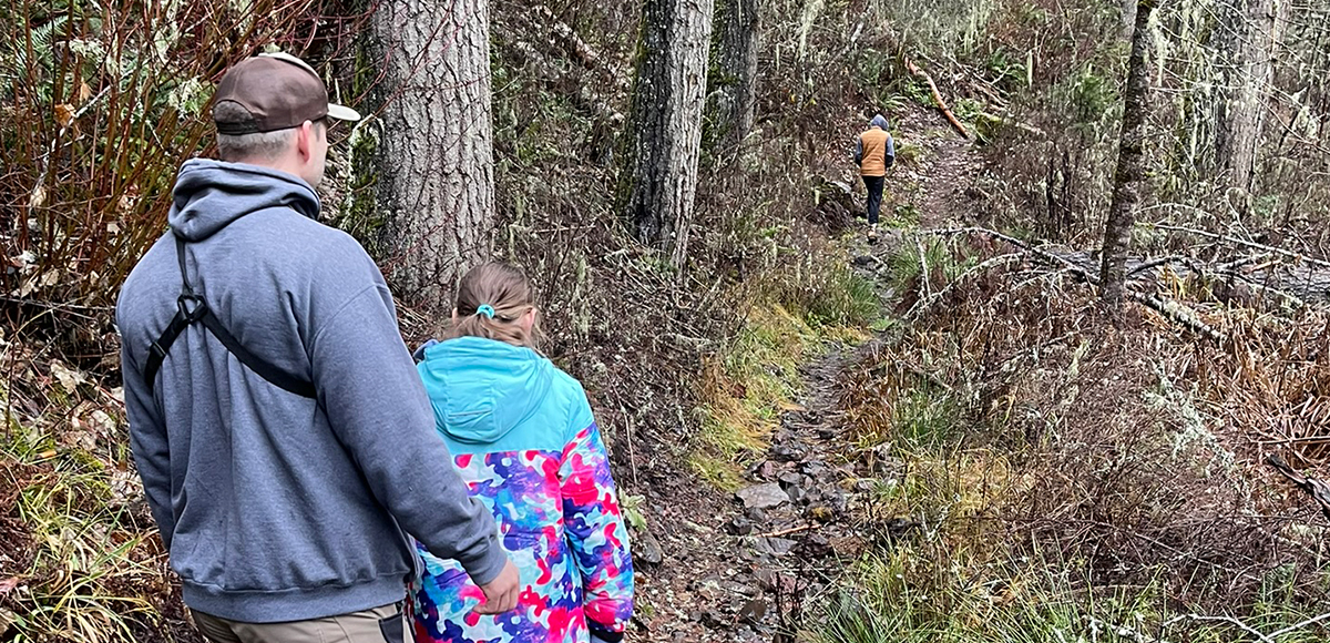
Field Notes Pets: In general, pets are allowed on a leash and under control throughout jurisdictions. The only restrictions we have encountered are around swimming areas. As a best practice, be mindful of riparian habitat in general. You never know where a precious spawning area might be located. Pack it in and pack it out applies to your furry friend as well.
Disclaimer: While the Outside Walla Walla team has enjoyed all the adventures listed on this site, we cannot provide real-time conditions & maintenance reports. Extreme weather can change access overnight. Volunteer groups might lose capacity to manage trail systems. We do our best to report that information and update our site accordingly, but please read our Disclaimer (footer) and proceed with any adventure as your comfort level allows.
WHEN TO GO
This trail is accessible year round. In summer months, remember this part of the state is a desert so pack plenty of water and sunscreen. There are few opportunities to find shade. After rain or perhaps as any snow melts,...
This trail is accessible year round. In summer months, remember this part of the state is a desert so pack plenty of water and sunscreen. There are few opportunities to find shade. After rain or perhaps as any snow melts, the trail does puddle fairly significantly.
HOW TO GET THERE
From Walla Walla head west on HWY 12 for 30 miles to Wallula Junction and keep straight joining HWY 730, which follows the Columbia River. Continue on HWY 730 for 25 miles to the town of Umatilla, OR and turn...
From Walla Walla head west on HWY 12 for 30 miles to Wallula Junction and keep straight joining HWY 730, which follows the Columbia River. Continue on HWY 730 for 25 miles to the town of Umatilla, OR and turn right onto I-82 W/US-395 N to cross the Columbia River. Take exit 131 and turn left to join HWY 14. Follow for one mile, and then turn left on S Plymouth Road. The road will make a Y, turn left onto Engineers Road and follow to its end. The trail begins at the tunnel.
Outside Walla Walla assumes no responsibility for the use of this website or the information provided. Every activity carries potential risks that should be assessed individually based on each person’s circumstances. By using the information, you acknowledge the foregoing and agree to release us from any liability arising from your use. We make no warranties, express or implied, of any kind regarding the operation of the website or the results you may obtain from using the content, information, materials, products, or services offered on the Outside Walla Walla website. Use of the Outside Walla Walla website is the sole responsibility of the user. In no event will we be liable for any direct, indirect, incidental, or consequential damages resulting from the use of this website or the information contained herein.
The Outside Walla Walla website contains links and advertisements to third-party websites. These links are provided for your convenience and do not imply that we endorse the content of those websites. We are not responsible for the content or accuracy of linked third-party websites, nor do we guarantee the accuracy or truthfulness of the information they contain. If you choose to access linked third-party websites, you do so at your own risk.