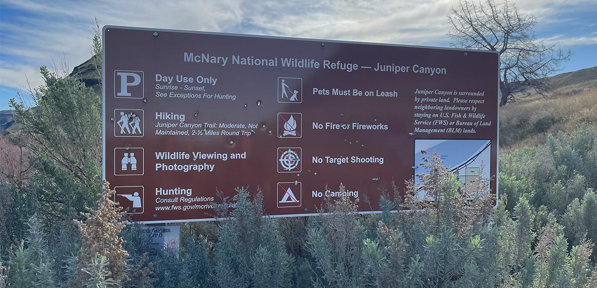
There are five units withing the McNary National Wildlife Refuge. Each have their own identity. In researching the area, the hunting regulation documents (tear sheet) provided detailed maps, clarifying allowed uses in what area. For example, at the headquarters unit, there is a designated hunting area that is actually closed to all general public entry.
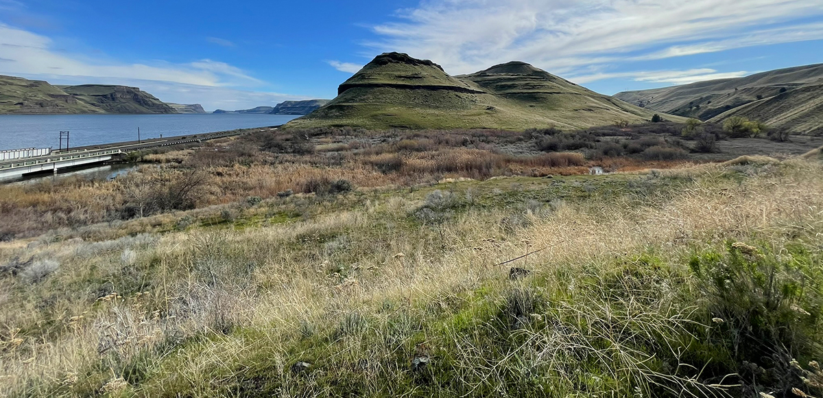
Adjacent to that area and further west, is the refuge headquarters building and the Quail Trail that is surrounded by land and water closed to hunting. The Two Rivers, Peninsula, Villard Ponds; Wallula Unit; and Juniper Canyon and Stateline Units sheets are equally as helpful to visualize how to enjoy the area and share amongst all types of recreators.
Amenities
Consult the interactive map for everything from where to find a bench to boat launches. There is a portable toilet at headquarters parking and Madame Dorian Restroom Parking.
Regulations
The McNary National Wildlife Refuge website is a wonderful resource. Each activity has a dedicated page with links and/or documents to ensure that users can safely recreate while leaving plenty of refuge for wildlife respite.
Wildlife Awareness
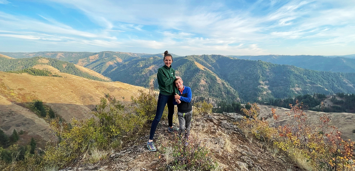
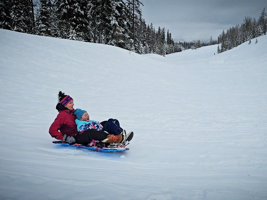
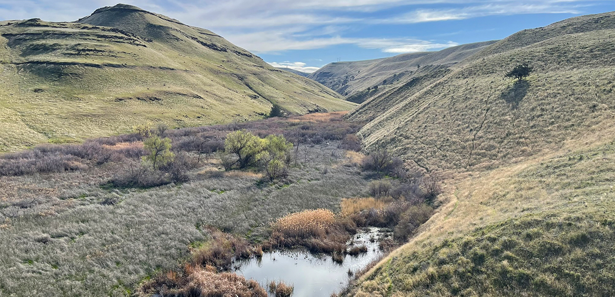
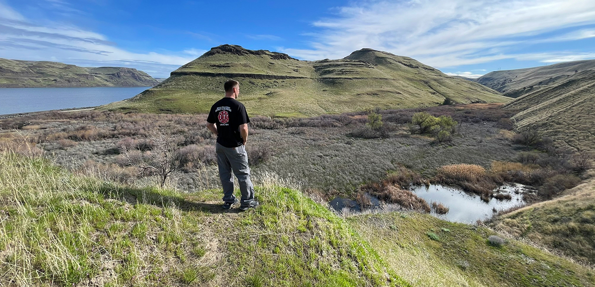
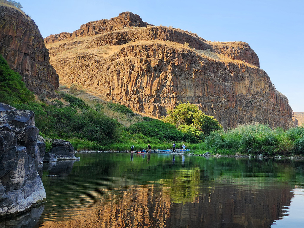
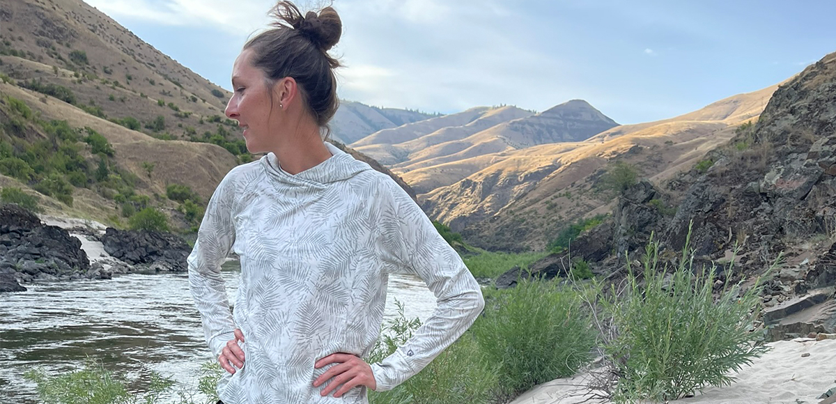
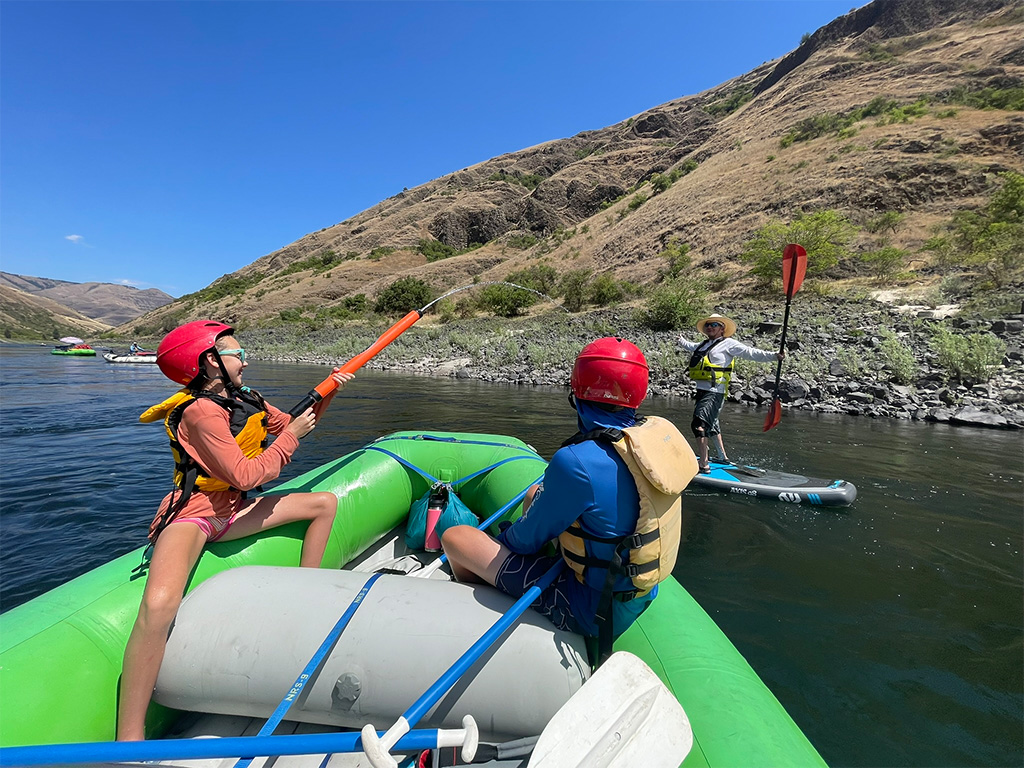
We are all so fortunate to recreate in the Blue Mountains and Walla Walla Valley. So many opportunities exist to play outside, whether in a national forest, wilderness area, or on a Wild and Scenic River. With these opportunities comes great responsibility to appreciate that we are mere visitors and should all take pride in being good stewards of the wild.
Many animals call these protected places home, including moose, elk, bear, cougar, bobcat, and snakes to name a few. Take precautions to respect their home and understand the appropriate response should an encounter occur.
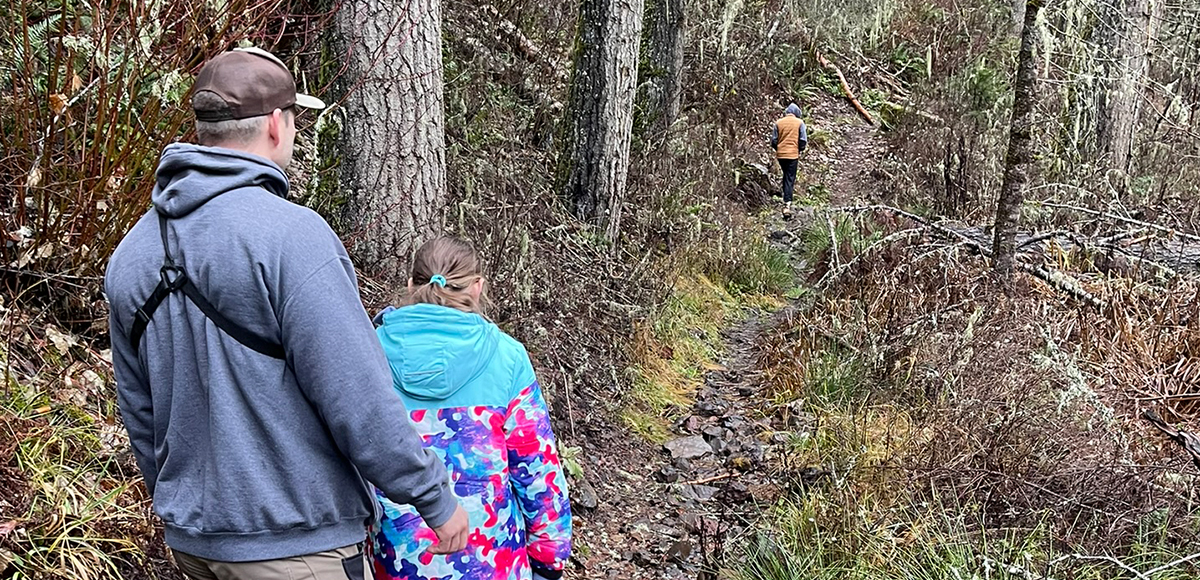
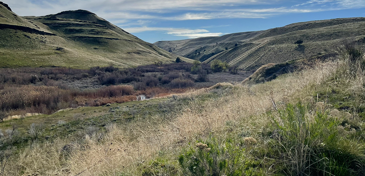
Additionally, many plant species thrive in the Blue Mountains, so staying on trail is always good practice.
Carry First Aid supplies to better respond to accidents or encounters, and always let others know where the day’s adventure is taking you.
Field Notes
Pets: In general, pets are allowed on a leash and under control throughout jurisdictions. The only restrictions we have encountered are around swimming areas. As a best practice, be mindful of riparian habitat in general. You never know where a precious spawning area might be located. Pack it in and pack it out applies to your furry friend as well.
Disclaimer: While the Outside Walla Walla team has enjoyed all the adventures listed on this site, we cannot provide real-time conditions & maintenance reports. Extreme weather can change access overnight. Volunteer groups might lose capacity to manage trail systems. We do our best to report that information and update our site accordingly, but please read our Disclaimer (footer) and proceed with any adventure as your comfort level allows.