CURRENT CONDITIONS
52° F
OUTSIDE WALLA WALLA
OUTSIDE WALLA WALLA
Chamna Natural Preserve
ACTIVITIES
Once used for grazing and farming, this 276 acre park located along the Yakima River offers plenty of space for multiple recreation opportunities. Walk, trial run, bike, bird watch, or ride horseback on over 11 miles of meandering trails through riparian and wetland habitat. As part of the 30 mile Tapteal Trail, use Chamna Natural Preserve as a start or end point to a longer adventure.
Overview
- Distance:
- Within 1.5 Hours
- ADA:
- No
- Elevation:
- 350 feet
- Multi Use:
- Yes
- Seasons:
- Spring, Summer, Fall, Winter
- Pets:
- Yes
- Motorized Vehicles:
- No
- Fees:
- This area is free and open to the public. Consider making a donation to Tapteal Greenway.
- Land Manager:
- A mix of federal, state, county, city, and private lands make up the preserve.
- Permits:
- None
- Amenities:
- There is a large, gravel parking lot and portable toilets.
- Distance:
- Within 1.5 Hours
- Seasons:
- Spring, Summer, Fall, Winter
- Elevation:
- 350 feet
- Pets:
- Yes
- Fees:
- This area is free and open to the public. Consider making a donation to Tapteal Greenway.
- Land Manager:
- A mix of federal, state, county, city, and private lands make up the preserve.
- ADA:
- No
- Multi Use:
- Yes
- Motorized Vehicles:
- No
- Permits:
- None
WHAT TO DO
Hiking/ Walking Path/ Biking/ Birding
Similar to Bennington Lake in Walla Walla, explore a network of short trails along the Yakima River. The weather differs greatly between Tri-Cities and Walla Walla. If you aren’t in the mood for snow, then often a short commute paired with big city errands make for a fun-filled day. As an added bonus, there are a few jumps near the parking area for those looking to catch a little air before riding down the trail. This trail system is part of the Great Washington State Birding Trail Sun and Sage Loop so bring your binoculars.
Paddleboarding/ Kayaking
Cool off with a trip along the Tapteal Water Trail. Enjoy a rare opportunity to see the dessert from the perspective of the river. Pelicans are abundant and the attractions are numerous. With over 30 river miles to explore, this is certainly a repeat activity throughout the changing seasons.
Cross Country Skiing/ Snowshoeing
When the snow season arrives grab the skis or snowshoes and head back to Chamna Natural Preserve for yet another way to recreate. The flat landscape makes the area great for all abilities and ages. While the snow doesn’t stick around for too long in this part of the state, winter recreation under the bright, sunny skies of eastern Washington are worth the wait.
WHAT TO EXPECT
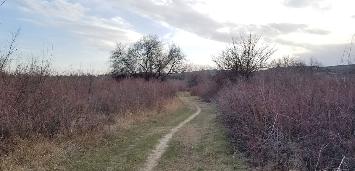
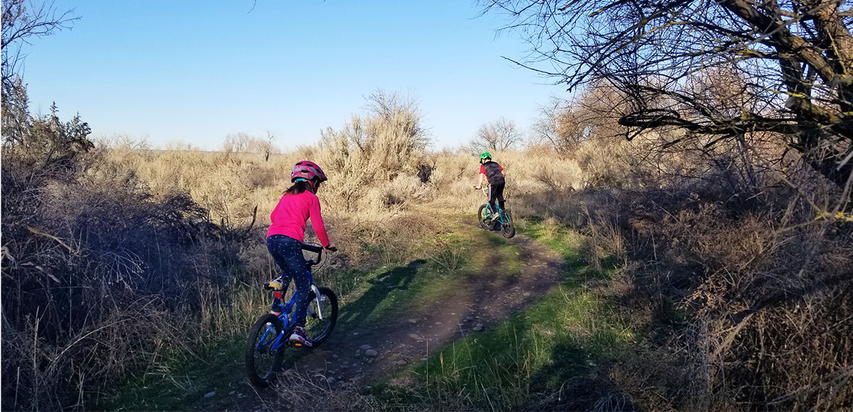
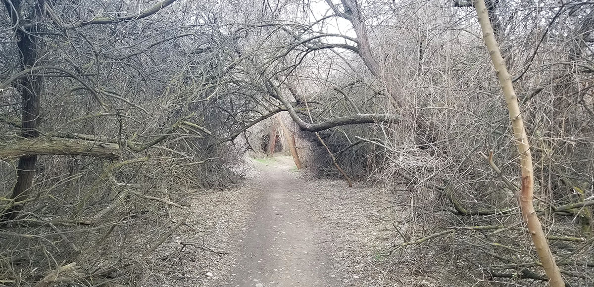
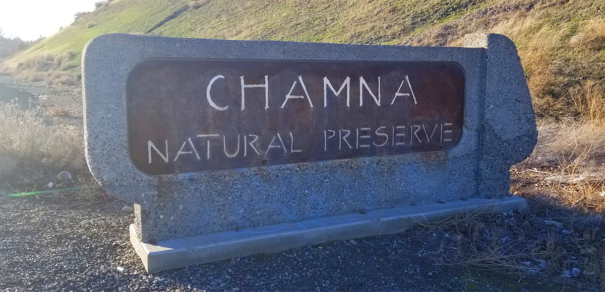
Seven interconnected trails along flat terrain parallel the Yakima River. The Chamna Natural Preserve Map is easy to follow if you have a particular trail in mind; otherwise, wander at will as it is pretty hard to get lost between the river and the access road. The west end is mostly dry desert. If on two wheels, watch out for thorns. As you move further east, the desert transitions to wetland and riparian areas. This trail system is part of the Great Washington State Birding Trail Sun and Sage Loop so bring your binoculars and prepare to update your life list.
Amenities
There is a large, gravel parking lot and portable toilets.
Regulations
Richland Parks and Recreation rules and trail etiquette apply.
Wildlife Awareness
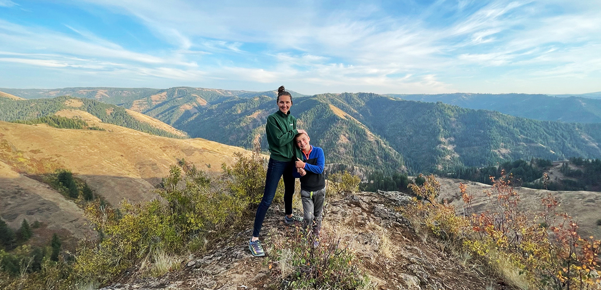
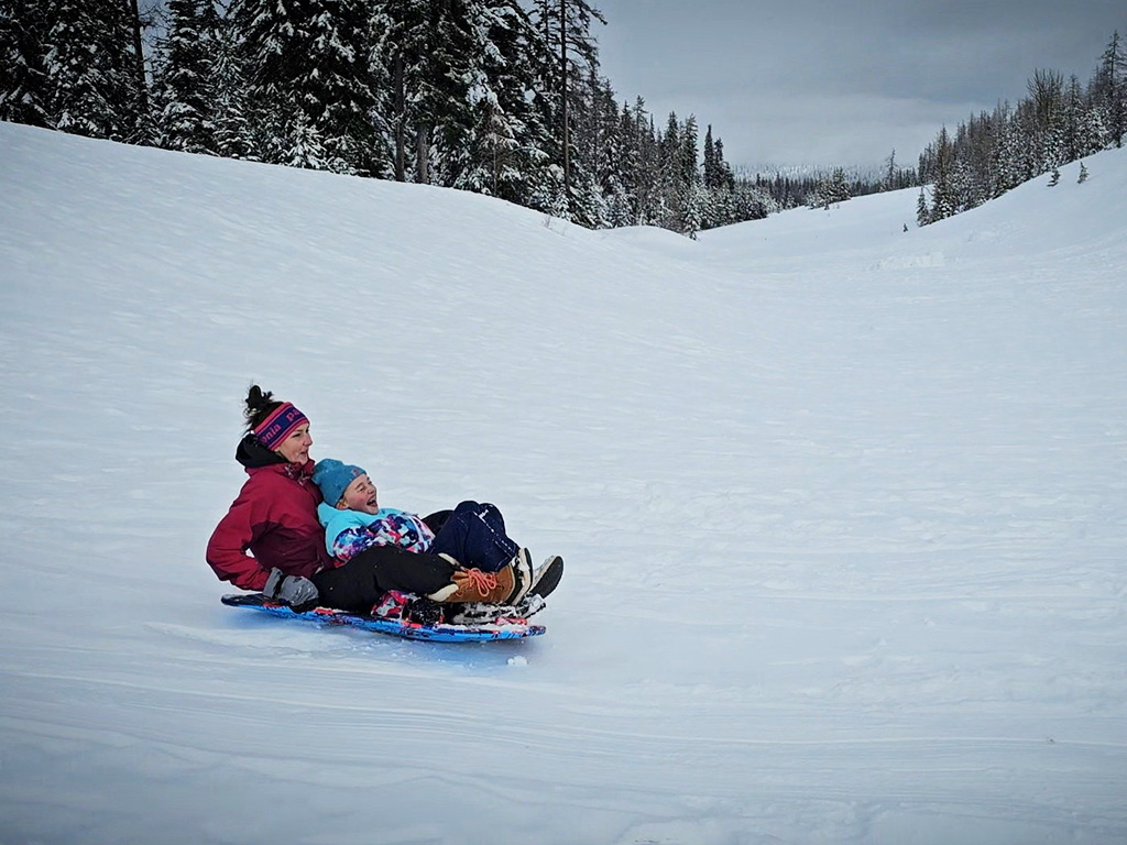
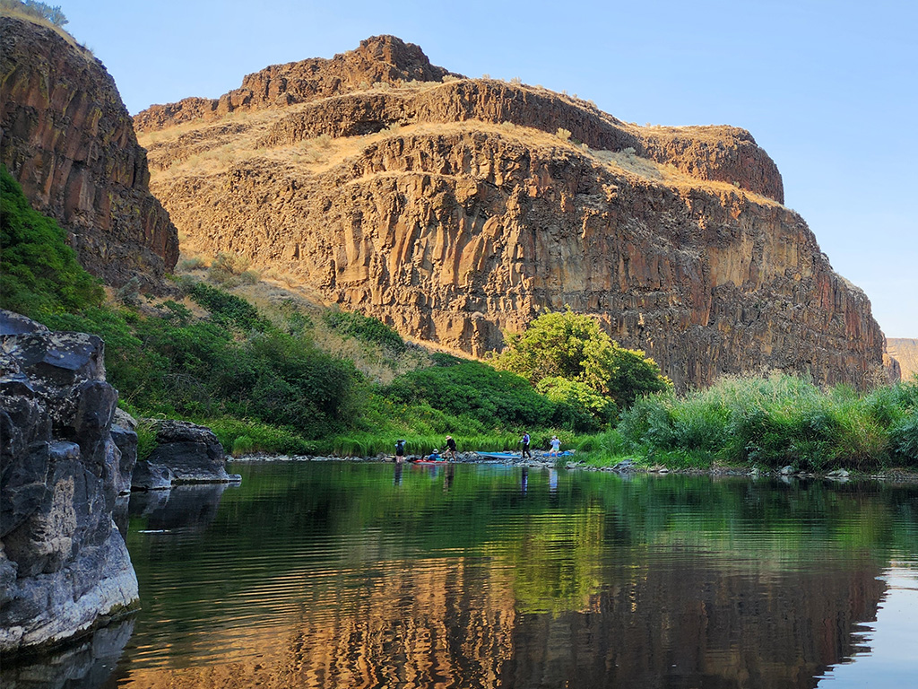
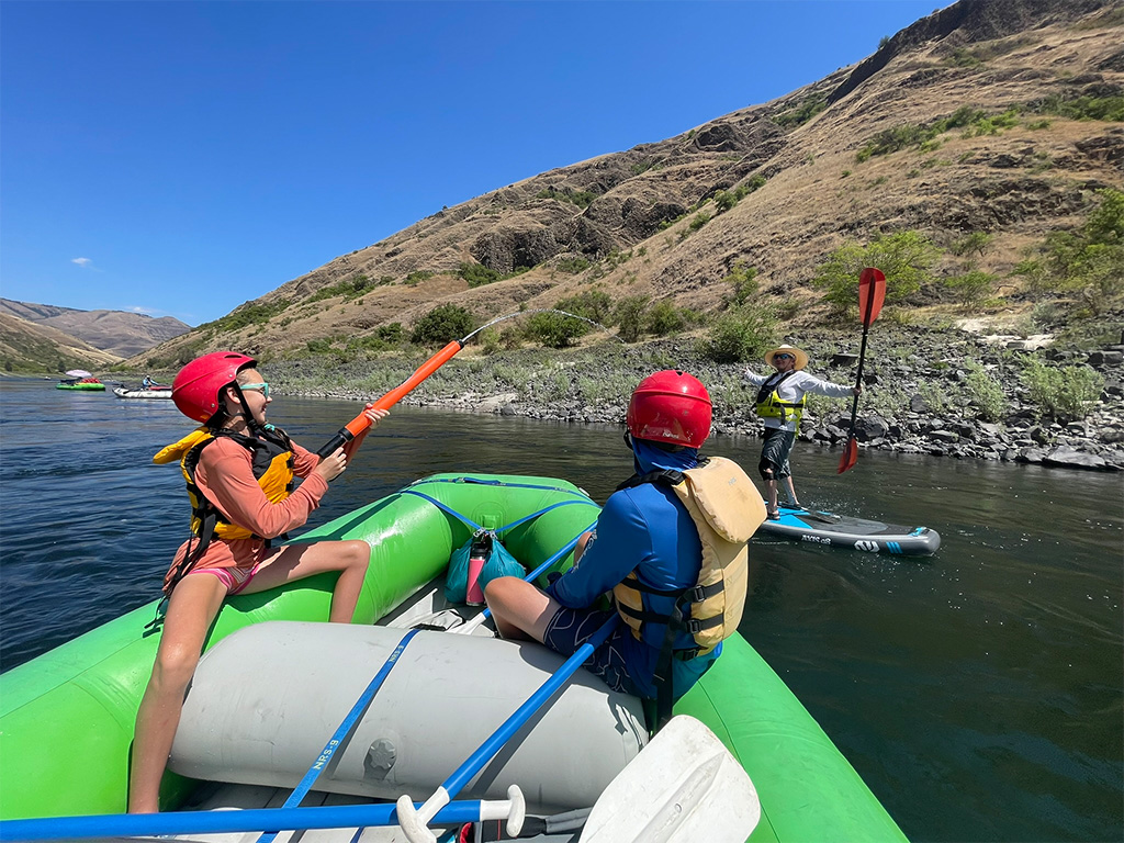
We are all so fortunate to recreate in the Blue Mountains and Walla Walla Valley. So many opportunities exist to play outside, whether in a national forest, wilderness area, or on a Wild and Scenic River. With these opportunities comes great responsibility to appreciate that we are mere visitors and should all take pride in being good stewards of the wild.
Many animals call these protected places home, including moose, elk, bear, cougar, bobcat, and snakes to name a few. Take precautions to respect their home and understand the appropriate response should an encounter occur.
Additionally, many plant species thrive in the Blue Mountains, so staying on trail is always good practice.
Carry First Aid supplies to better respond to accidents or encounters, and always let others know where the day’s adventure is taking you.
Field Notes
Navigation: Consider downloading the Avenza Map app. This app allows users to upload three maps (or unlimited with a subscription) to use offline. It can track your location offline and overlay GPS data from the phone onto the map. The vehicle use maps (for trails allowing motorized vehicles) are the easiest to use.
Otherwise, Geo Tracker offers similar tracking capabilities and additional details about your adventure. If no service, Geo Tracker will at least show your location. The Blue Mountains and surrounding area offer a remote recreating experience, and knowing your location is paramount to staying safe. Always make sure to bring paper maps. Tell others where your adventure is taking you and when you expect to return.
Pets: In general, pets are allowed on a leash and under control throughout jurisdictions. The only restrictions we have encountered are around swimming areas. As a best practice, be mindful of riparian habitat in general. You never know where a precious spawning area might be located. Pack it in and pack it out applies to your furry friend as well.
Disclaimer: While the Outside Walla Walla team has enjoyed all the adventures listed on this site, we cannot provide real-time conditions & maintenance reports. Extreme weather can change access overnight. Volunteer groups might lose capacity to manage trail systems. We do our best to report that information and update our site accordingly, but please read our Disclaimer (footer) and proceed with any adventure as your comfort level allows.
WHEN TO GO
Chamna Natural Preserve is a true four season recreation area. Hike and bike in the spring and fall, although spring flooding may cover trails near the river. Kayak or paddleboard the Yakima River to beat the summer heat. Cross country ski and snowshoe in the winter to escape the Walla Walla Valley fog.
HOW TO GET THERE
From Walla Walla, head west on HWY 12 for 30 miles to Wallula Junction and turn right to stay on HWY 12. Continue another 25 miles and take exit 5B for George Washington Way. Turn left at the traffic signal for Aaron Drive. Another hard left keeps you on Aaron Drive. After roughly half a mile turn left on Jadwin Avenue. Cross over the highway and turn right on Carrier Road. Take a right to keep on Carrier Road, you will see a sign for Chamna Natural Preserve. Continue about a half mile and the parking lot is on your left.
map
TRAILHEADS
LOWER TRAILHEAD
UPPER TRAILHEAD
DOWNLOAD GUIDE PDF
DOWNLOAD GUIDE PDF
ADDTIONAL INFORMATION
Chamna Natural Preserve Gallery
CHECKOUT MORE OF THE SITE
Activity
ACTIVITY
DISTANCE


